Part 6: St John’s Church, Charlton to St Leonard’s, Semley
Distance approx. 4.50 miles. Walking time approx. 2 hours 10 minutes.
This is part of a walk which connects all the churches in the Benefice of St Bartholomew and Wardour Chapel using public footpaths and avoiding roads so far as possible. The route, clockwise from Sedgehill, goes via East Knoyle, Wardour, Donhead St Andrew, Donhead St Mary, Charlton, Semley and back to Sedgehill.
Maps – OS Explorer 118 1:25000 scale map (2.5 inches to 1 mile). If you have an OS subscription and App the link to the map for this part of the walk is here.
Start – St John’s Church, Coronation Close, Charlton, SP7 9LZ (OS Grid Ref: ST 90218 22626)
Finish – St Leonard’s Church, Semley, Shaftesbury, SP7 9JW (OS Grid Ref: ST 89221 26922)
Download – This section of the walk can be downloaded as a pdf file by clicking HERE.
Facilities – There are no facilities at Charlton other than The Grove Arms on the A30 (at Ludwell Hill, SP7 9ND). However, Semley not only has a village shop, Semley Village Stores, opposite the church, but also a pub, The Bennet Arms (01747 830221), just across the Village Green. There is no regular or convenient public transport. There is limited parking on Coronation Close at St John’s Charlton. However, more parking is available at the Memorial Hall immediately to the south of St John’s Church across the A30. You can then walk across the A30 straight into the churchyard. Parking at Semley is available on the roads around the church.
Guidance – The best way to follow the route is by using the Ordnance Survey maps. These maps show the footpaths and it is recommended that you use them or, better still, with an Ordnance Survey subscription (which provides access to all OS maps online and access to an App on your smartphone) you can follow the link provided above.
The extract from the map is provided here online using an OS Media Licence with the restriction that it may not be printed or copied. You will need, therefore, to trace the route shown onto your own OS map.
Much of this part of St Bartholomew’s Way is a wonderful “Walk in the Woods” interspersed with open fields and long views. Some parts, particularly Wincombe Woods, can be very wet and muddy. There are several stiles on this section which a dog will either have to jump or be lifted over.
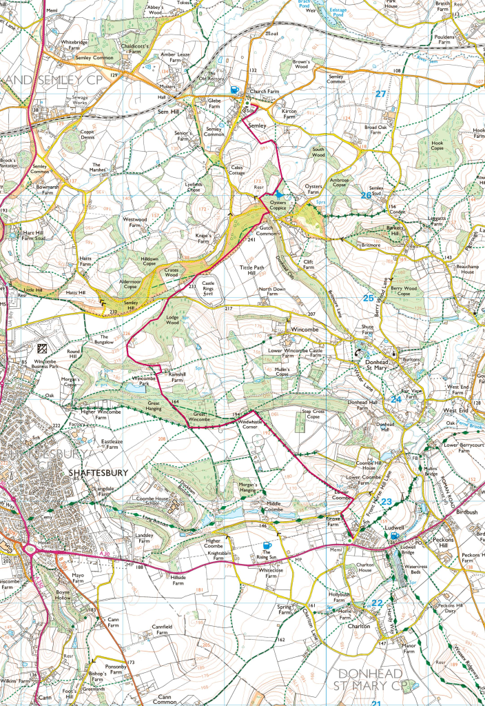
Leave St John’s Church by the main gateway onto Coronation Close and turn left to follow the signed footpath that runs along the side of the church (Photo 1). This is shared by Hardy Way, like the Wessex Ridgeway another long-distance footpath. Cross a cul-de-sac, (St John’s close – Photo 2), which takes you out onto an open field sloping down. Continue straight heading roughly north to come out onto a lane running between Lower and Middle Coombe. Turn right towards Lower Coombe and look for footpath sign on your left. This is pretty impenetrable but a yellow sign on the post directs you back to a permissive path which skirts a cottage garden (Photos 3 and 4).
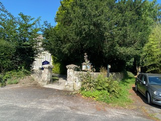
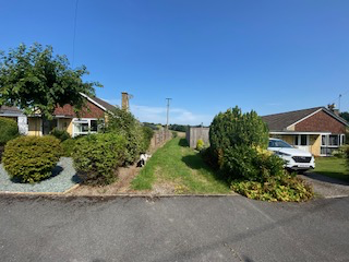
Photo 1
Photo 2

Photo 3
Photo 4
From here, you climb gently up a hill in a north-west direction with a coombe on your right to reach another open field with a line of trees on your right which you should follow continuing in the same direction. At the top, you will join another footpath and turn left in a south-west direction. At Windwhistle Corner, you will find yourself at a crossroads (Photo 5). Here you have a choice. On the map, I have shown the Way keeping straight rather than turning right to take the long side of a triangle. (If you choose to do this short cut you will find that the path is indistinct in places and it can get very wet. This path turns almost immediately in a slightly north of east direction (Photo 6). Have the courage of your convictions and continue straight until you meet a footpath coming across you which you should join going in a north-west direction.) However, I think it is navigationally easier and drier to get to this point instead by continuing straight at the crossroads and taking the next right-hand path into the woods at a crossroads where five paths meet.
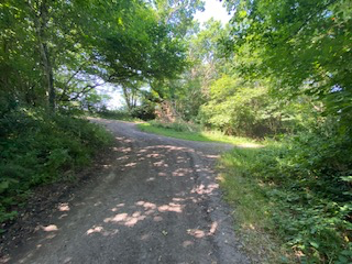
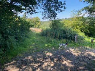
Photo 5
Photo 6
You should follow this path, which also becomes quite indistinct in parts, in a north-west direction to emerge out of the woods into Wincombe Park. Continue in the same direction following a line of trees (Photo 7) heading toward Wincombe Park House on your left. Go through a 6-bar metal gate on your right (Photo 8). Our route now follows a permissive path to take us further away from the house (you will see from the OS map that the footpath goes straight and very close to the house. This short diversion is less disturbing to the occupants and I recommend that you follow the diversion. Turn right at the 6-bar metal gate and head towards some willow trees (Photo 9). Before you get to them, you will see a land bridge dividing a new pond (Photo 10). Here you should turn left and cross the bridge heading up the slight hill through a 7-bar gate towards a post with a yellow sign (Photo 11). You will come out onto the driveway (Photo 12) on which you should turn left and follow it gently uphill (ignoring another driveway which joins on your left). Continue until you reach farm buildings on your right where you should leave the driveway to go right on a track where there is a Public Bridleway sign (Photo 13).
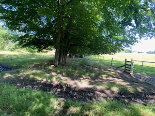

Photo 7
Photo 8
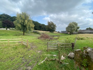
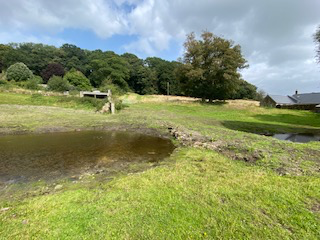
Photo 9
Photo 10
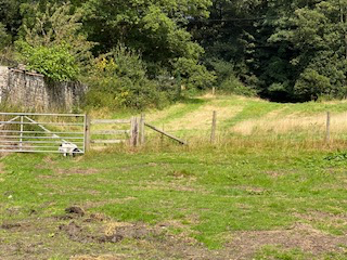
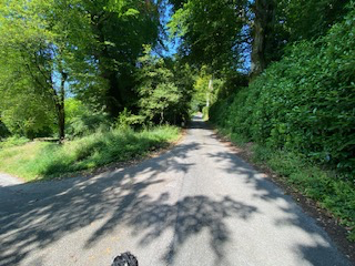
Photo 11
Photo 12
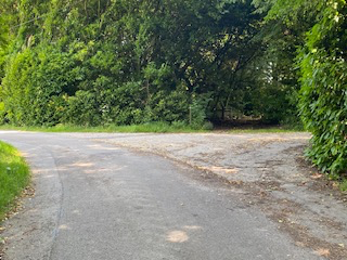
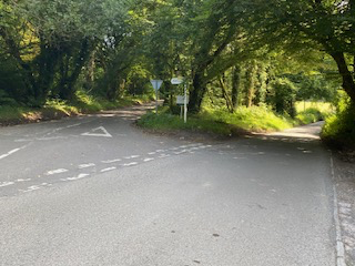
Photo 13
Photo 14
The Way then goes in a north-east direction through Lodge Wood to bring you out onto a road by a house. Turn right and you are at a fork in the road. Take the left-hand fork signed to Semley and Gutch Common (Photo 14). Follow this road, passing Castle Rings Fort (not visible from the road), with woods on your left and right. Although you can follow this road all the way down to Oyster’s Coppice, it is possible to avoid the road by following a footpath in the woods on your right. Look out for an unmarked path on your right (Photo 15) that runs parallel to the road before leaving it to continue in a north-east direction. Here, the footpath runs along and inside the edge of the wood. There are a lot of footpaths branching off in different directions in this wood and it would be easy to miss your way, however much your spaniel will enjoy it. I think that it is better to keep straight, just inside the edge of the wood, where you will pass a Trig Point rather than trying to follow the line of the footpath on the map shown on the OS extract. The footpath then goes left down a very steep slope (be careful!) and you will see the houses of Gutch Common below you (Photo 16).
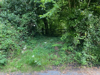
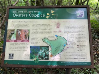
Photo 17
Photo 18
This is a delightful wood with lots of footpaths and, at the right time of year plenty of wild garlic! One footpath circles the inside of the whole wood making a good short walk from Semley starting opposite the village shop. Once in the wood follow the left-hand path going clockwise to the north-west corner of the wood where you emerge into a wonderful field with a magnificent oak tree in the distance ahead of you to the left (Photos 19 & 20). Here you join a marked footpath on the map and head almost due north passing the tree on your right. After crossing a stile, follow a line of post and wire fencing bearing slightly left (ignoring a footpath to your right) and then, keeping in the same direction, go over another stile. In this field, follow the hedge line on your right to come to another stile at the edge of Semley village.
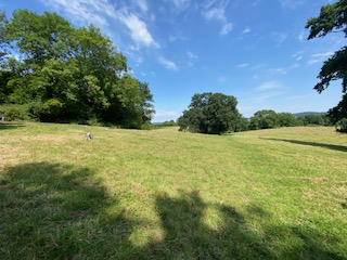
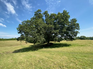
Photo 19
Photo 20
After crossing this stile, turn right to follow another footpath which will bring you out onto a road. Turn left and, after passing Semley Rectory (pausing only to doff your cap), you will arrive at St Leonard’s Church on your left (Photos 21 & 22).
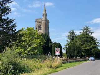
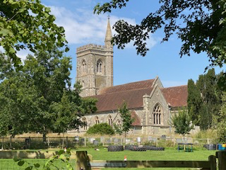
Photo 21
Photo 22