Part 5: Donhead St Mary Church to St John’s Charlton
Distance approx. 2.0 miles. Walking time approx. 50 minutes.
This is part of a walk which connects all the churches in the Benefice of St Bartholomew and Wardour Chapel using public footpaths and avoiding roads so far as possible. The route, clockwise from Sedgehill, goes via East Knoyle, Wardour, Donhead St Andrew, Donhead St Mary, Charlton, Semley and back to Sedgehill.
Maps – OS Explorer 118 1:25000 scale map (2.5 inches to 1 mile). If you have an OS subscription and App the link to the map for this part of the walk is here.
Start – Donhead St Mary Church, Church Hill, Shaftesbury, SP7 9DH (OS Grid Ref: ST 90668 24434)
Finish – St John’s Church, Coronation Close, Charlton, Wiltshire SP7 9LZ (OS Grid Ref: ST 90218 22626).
Download – This section of the walk can be downloaded as a pdf file by clicking HERE.
Facilities – There are no facilities at Donhead St Mary or at Charlton other than The Grove Arms on the A30 (at Ludwell Hill, SP7 9ND). There is no regular or convenient public transport. Parking is available in the lanes around Donhead St Mary’s Church and limited parking on Coronation Close at St John’s Charlton. However, more parking is available at the Memorial Hall immediately to the south of St John’s Church across the A30. You can then walk across the A30 straight into the churchyard.
Guidance – The best way to follow the route is by using the Ordnance Survey maps. These maps show the footpaths and it is recommended that you use them or, better still, with an Ordnance Survey subscription (which provides access to all OS maps online and access to an App on your smartphone) you can follow the link provided above.
The extract from the map is provided here online using an OS Media Licence with the restriction that it may not be printed or copied. You will need, therefore, to trace the route shown onto your own OS map.
There are several stiles on this section which a dog will either have to jump or be lifted over.
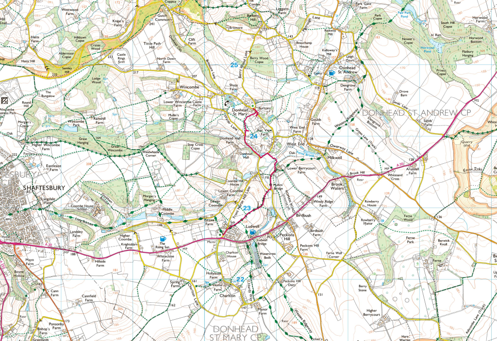
This section of the walk heads generally south to pick up the Wessex Ridgeway again about halfway to Charlton. Finding the start of the walk from Donhead St Mary is a little challenging and it is not well marked. Leave the churchyard by the main entrance (Photo 1) onto the road and follow it in a south-west direction looking for a gravel driveway on your right with a red post box (Photo 2). Go up this drive with a white gate ahead of you, feeling like a trespasser. When you reach the white gate there is a narrow path between bins (Photo 3). You are on your way! Follow this path heading south-west and then, where another footpath crosses, continue straight but now heading south. This will bring you to Water Lane where you need to need to turn left, with the grounds of Donhead Hall on your right and detached houses on you left and you will shortly reach a T-junction.
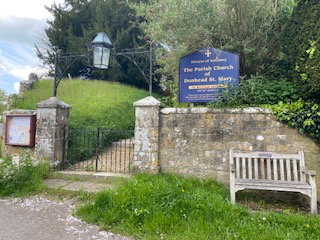
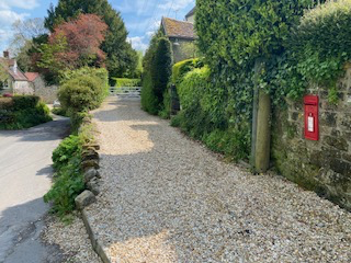
Photo 1
Photo 2
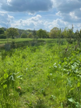
Photo 3
Photo 4
Here you have a choice. The quicker (and drier) route is to turn right and follow the road ignoring the first left turn down the wonderfully named Front Horse Hill Lane. Continue about the same distance again and then look out for the point where the Wessex Ridgeway crosses the road where you should turn right to follow the Ridgeway in a south-west direction.
However, in the spirit of avoiding roads where possible, St Bartholomew’s Way takes a navigationally more difficult and wetter route. Turn left instead at the T-junction and look for a footpath on your right (Photo 5). Take this and head south-west (Photo 6) towards a group of farm buildings (Lower Berrybrook Farm, a wet sounding name). Keep these to your left to join a track (Photo 7) and you are now back on the Wessex Ridgeway which will lead you almost all the way to St John’s Charlton. The lane crosses a road where the short-cut also re-joins us (Photo 8). Keep straight on the track going south-west to reach Charlton (Photo 9). Ignore the point where the Wessex Ridgeway turns left and keep straight to pass through a small estate of houses and emerge onto Coronation Close. Turn left to keep in a south-west direction and you will find St John’s Charlton on your right (Photo 10).
If you want to visit The Grove Arms, the best way of doing so is to follow the Wessex Ridgeway where it turns left, shortly before you reach the houses, and leads you down to the A30 close to the pub from which you will need to retrace your steps or be brave and take the more direct route by walking along the A30 to Charlton.
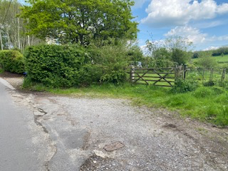
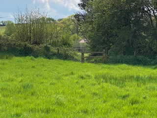
Photo 5
Photo 6
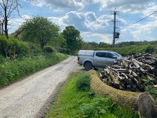
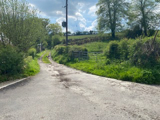
Photo 7
Photo 8
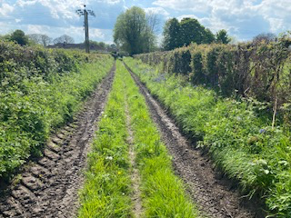
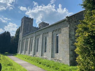
Photo 9
Photo 10