Part 4: Donhead St Andrew to Donhead St Mary Church
Distance approx. 0.75 miles. Walking time approx. 20 minutes.
This is part of a walk which connects all the churches in the Benefice of St Bartholomew and Wardour Chapel using public footpaths and avoiding roads so far as possible. The route, clockwise from Sedgehill, goes via East Knoyle, Wardour, Donhead St Andrew, Donhead St Mary, Charlton, Semley and back to Sedgehill.
Maps – OS Explorer 118 1:25000 scale map (2.5 inches to 1 mile). If you have an OS subscription and App the link to the map for this part of the walk is here.
Start – Donhead St Andrew Church, St Bartholomew’s Street, Shaftesbury SP7 9EB (OS Grid Ref: ST 91460 24826)
Finish – Donhead St Mary Church, Church Hill, Shaftesbury, SP7 9DH (OS Grid Ref: ST 90668 24434)
Download – This section of the walk can be downloaded as a pdf file by clicking HERE.
Facilities – There are no facilities at Donhead St Mary but at Donhead St Andrew there is The Forrester (Lower Street, Donhead St Andrew SP7 9EE) which is a public house about 6 minutes’ walk from the church. There is no regular or convenient public transport. Parking is available on St Bartholomew’s Street at Donhead St Andrew and in the lanes around the church.
Guidance – The best way to follow the route is by using the Ordnance Survey maps. These maps show the footpaths and it is recommended that you use them or, better still, with an Ordnance Survey subscription (which provides access to all OS maps online and access to an App on your smartphone) you can follow the link provided above.
The extract from the map is provided here online using an OS Media Licence with the restriction that it may not be printed or copied. You will need, therefore, to trace the route shown onto your own OS map.
There are several stiles on this section which a dog will either have to jump or be lifted over.
This is the shortest section of the 7 parts of St Bartholomew’s Way and it is a good one to add to the adjoining sections if you are only walking part.
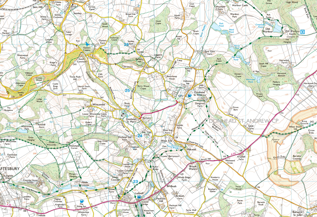
From Donhead St Andrew Church walk back down St Bartholomew Street going south-west and look for a footpath sign on your right (Photo 1). Your direction is now almost straight all the way in a south-west direction. After crossing open parkland-like pasture, you will come to a stile with footpath signs and woods on your right (Photo 2). Continue over this in the same direction and after passing through an orchard (Photo 3) you will see Donhead St Mary Church ahead of you (Photo 4). The path emerges onto a road and if you turn left, passing houses on your right, you will come to the church (Photos 5 & 6).
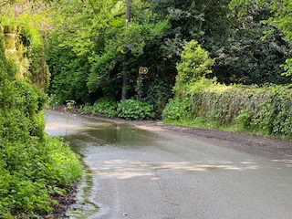
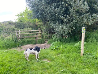
Photo 1
Photo 2
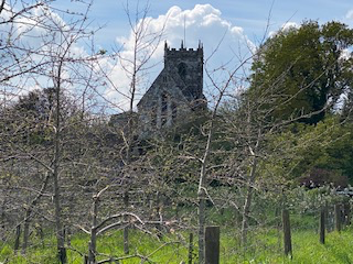
Photo 3
Photo 4
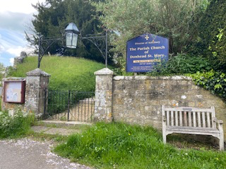
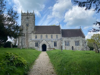
Photo 5
Photo 6