Part 3: Wardour Chapel to Donhead St Andrew Church
Distance approx. 3 miles. Walking time approx. 1 hours 20 minutes.
This is part of a walk which connects all the churches in the Benefice of St Bartholomew and Wardour Chapel using public footpaths and avoiding roads so far as possible. The route, clockwise from Sedgehill, goes via East Knoyle, Wardour, Donhead St Andrew, Donhead St Mary, Charlton, Semley and back to Sedgehill.
Maps – OS Explorer 118 1:25000 scale map (2.5 inches to 1 mile). If you have an online OS subscription and smartphone app, you can access this route by following this link.
Start – Wardour Chapel, Wardour Castle, Tisbury, Wiltshire SP3 6RH (OS Grid Ref: ST 92764 26977) [www.wardourchapel.co.uk].
Finish – Donhead St Andrew Church, St Bartholomew’s Street, Shaftesbury SP7 9EB (OS Grid Ref: ST 91460 24826).
Download – This section of the walk can be downloaded as a pdf file by clicking HERE.
Facilities – There are no facilities at Wardour but at Donhead St Andrew there is The Forrester (Lower Street, Donhead St Andrew SP7 9EE) which is a public house about 6 minutes’ walk from the church. There is no regular or convenient public transport. Parking is available on St Bartholomew’s Street at Donhead St Andrew and in the lower car park at Wardour Castle (go through the automatic gate and turn right). Please do not park in front of the Castle itself.
Guidance – The best way to follow the route is by using the Ordnance Survey maps. These maps show the footpaths and it is recommended that you use them or, better still, with an Ordnance Survey subscription (which provides access to all OS maps online and access to an App on your smartphone). If you do have an online OS subscription and smartphone app, you can access this route by following the link given above.
The extract from the map is provided here online using an OS Media Licence with the restriction that it may not be printed or copied. You will need, therefore, to trace the route shown onto your own OS map.
There are several stiles on this section which a dog will either have to jump or be lifted over.
Most of this walk follows the Wessex Ridgeway and is well-signed and easy to follow until you need to leave the Ridgeway and drop down to Donhead St Andrew Church.
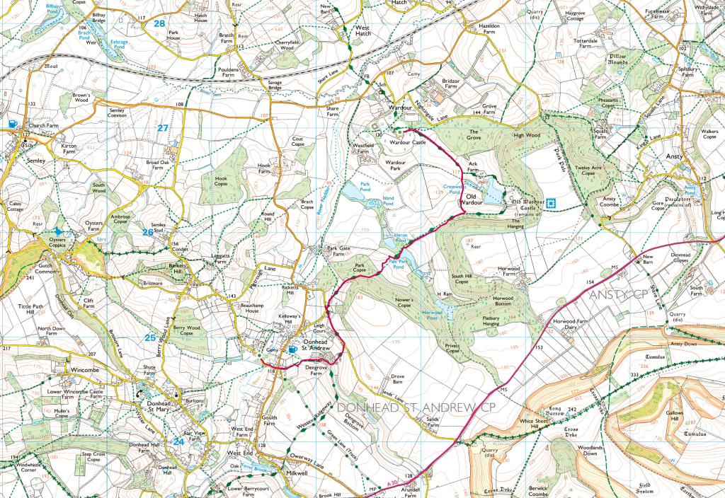
Walk across the front of Wardour Castle to join the Ridgeway path heading east to a 7-bar metal gate and stile with signs (Photo 1) which takes you into a large field where you need to head south-west on a track that is well-trodden. On the far side of the field you have the option to take a short-cut by bearing right and following a track due south which then re-joins the Ridgeway at a T-junction with a wooden finger post (Photo 2). Alternatively, bear left on the Ridgeway which goes through Ark Farm and round Old Wardour Castle lake. Then follow the sign to Donhead St Andrew walking with the woods on your left with a view of Wardour Castle to your right. Whichever route you take there a good view of Old Wardour Castle.
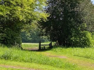
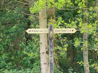
Photo 1
Photo 2
The Way then heads in a south-west direction past a pond and through woods. After leaving the woods you should follow a track with another footpath that joins from your right and you will come out onto a road junction. Here you have a choice. If you wish to visit The Forrester take the road straight ahead of you and keep straight (another road will come in from your right) and you will reach the pub on your right. Then continue on the road and take the next right road (St Bartholomew Street) to reach Donhead St Andrew Church.
Otherwise, in the spirit of avoiding roads so far as possible, turn right on the road to follow the Way. Navigation is more difficult here. The route goes through Dengrove Farm. Look for a right-hand turn into the farmyard with a large green oil tank (Photo 3). Keep straight and then turn right to leave the Wessex Ridgeway and go through the farmyard (Photos 4 & 5) and skirt large farm buildings on your right. Here, you should just be able to see the top of the tower of Donhead St Andrew Church on the horizon to your left; and that is the direction you should be heading, roughly due west. You should see a post with two diverging footpath signs – one blue and one yellow (Photo 6). Follow the blue direction across the fields and look for a narrow track between two houses. This was very overgrown when I last walked it but, with perseverance, you will emerge at a road junction with St Bartholomew Street directly ahead of you. Follow this to arrive at Donhead St Andrew Church on your right. Make time on your visit to look at the churchyard as well as the church and enjoy the bench!
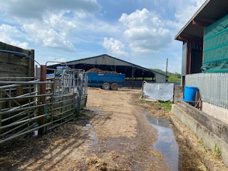
Photo 3
Photo 4
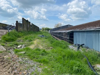
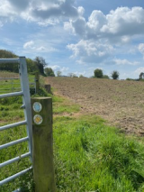
Photo 5
Photo 6
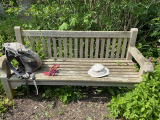
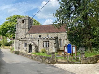
Photo 7
Photo 8