Part 2: St Mary’s Church, East Knoyle to Wardour Chapel
Distance approx. 6.2 miles. Walking time approx. 2 hours 45 minutes.
This is part of a walk which connects all the churches in the Benefice of St Bartholomew and Wardour Chapel using public footpaths and avoiding roads so far as possible. The route, clockwise from Sedgehill, goes via East Knoyle, Wardour, Donhead St Andrew, Donhead St Mary, Charlton, Semley and back to Sedgehill.
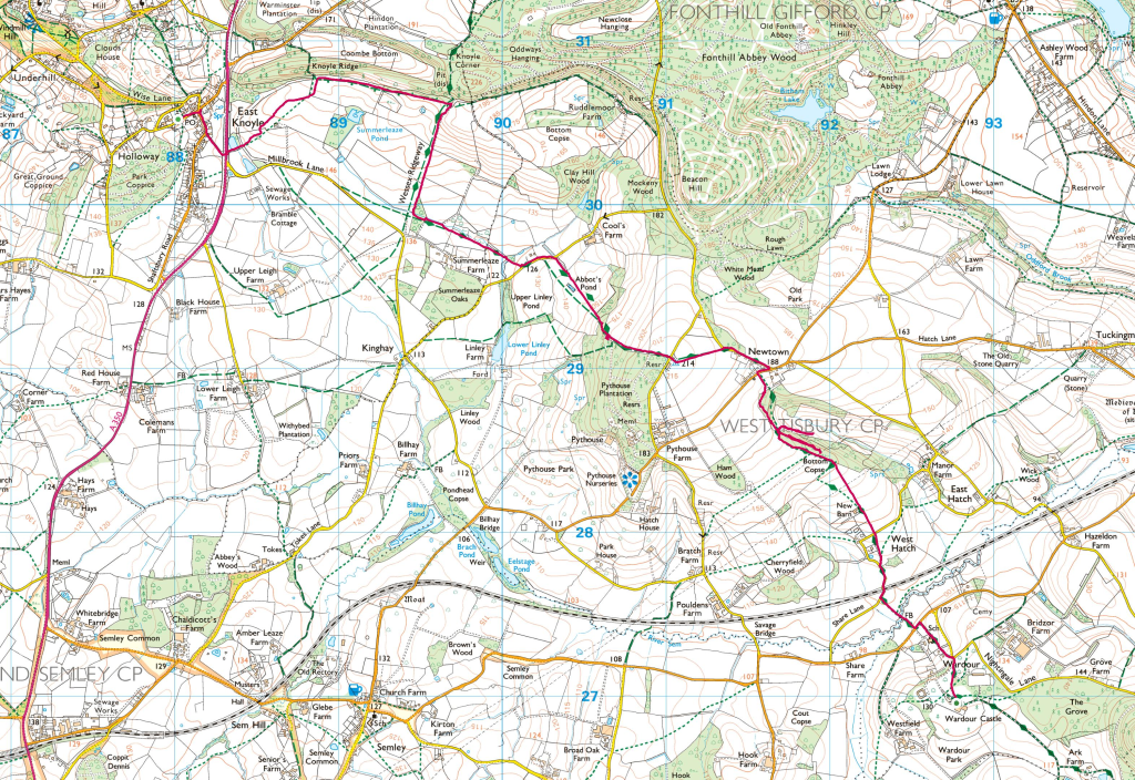
Maps – OS Explorer 118 1:25000 scale map (2.5 inches to 1 mile) and (for East Knoyle) OS Explorer 143 map. If you have an OS subscription and App the link to the map for this part of the walk is here.
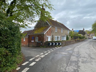
Start – St Mary’s Church, Hindon Road, East Knoyle, Salisbury SP3 6AE (OS Grid Ref: ST 88019 30551)
Finish – Wardour Chapel, Wardour Castle, Tisbury, Wiltshire SP3 6RH (OS Grid Ref: ST 92764 26977) [www.wardourchapel.co.uk].
Download – This section of the walk can be downloaded as a pdf file by clicking HERE.
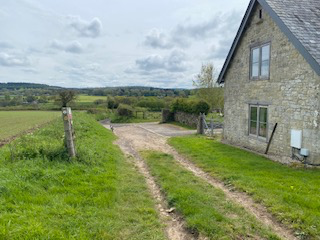
Facilities – There are no facilities at Wardour but East Knoyle has a village shop. There is no regular or convenient public transport. Parking is available at East Knoyle in Hindon Road or at the Village Hall next to the church and in the lower car park at Wardour Castle (go through the automatic gate and turn right). Please do not park in front of the Castle itself.
Guidance – The best way to follow the route is by using the Ordnance Survey maps. These maps show the footpaths and it is recommended that you use them or, better still, with an Ordnance Survey subscription (which provides access to all OS maps online and access to an App on your smartphone) you can follow the link provided above.
The extract from the map is provided here online using an OS Media Licence with the restriction that it may not be printed or copied. You will need, therefore, to trace the route shown onto your own OS map.
There are several stiles on this section which a dog will either have to jump or be lifted over.
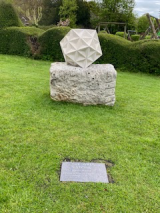
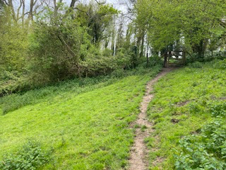
Leave St Mary’s Church and walk down the road passing the East Knoyle Wren Village Shop on your right and turn right at the junction (pausing only to admire The Wren Stone made by the sculptor John Maine, RA and installed in 2023 to mark the birth of Sir Christopher Wren in East Knoyle, in October 1623).
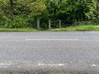
Leaving the Wren stone on your left and shortly afterwards turn left down Millbrook Lane. This will take you to the A350 which you should cross carefully and pick up a footpath through a gate with a yellow sign. You next need to head north east across fields, leaving farm buildings and a new house on your right. Ahead of you, you will see a line of trees where you need to pick up a track and head east with wonderful views to the south. In due course, you will come to a point where the Wessex Ridgeway crosses this track. You now join the Ridgeway, turning right and heading south.
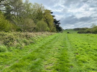
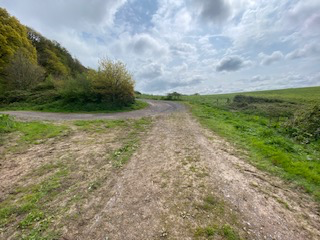
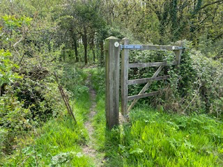
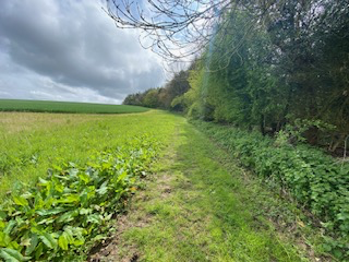
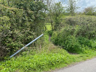
From here on, navigation becomes easier because you should follow the Wessex Ridgeway marked with signs all the way to Wardour Chapel. Look for a point where the Ridgeway turns left heading South east and skirting Summerleaze Farm on your right. This path will bring you out onto a road where you should turn left and look for a right turn shortly afterwards, which takes you into a field leading uphill to the woods to the north of Pythouse. The marked path takes you through a metal six-bar gate and through a narrow section of wood to emerge onto a path which follows the line of the woods on your right with an open field on your left.
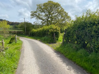
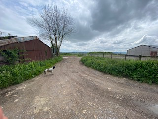
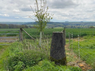
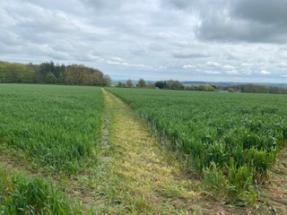
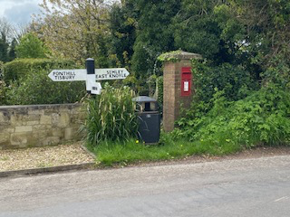
In due course, you will come to a further metal gate, which takes you onto a road which you should cross, going between farm buildings, and passing a Trig Point (shown on the OS map at 214m). Here you should hope to find a fairly obvious path across an arable field in a north east direction to reach a road leading from Hindon to Newtown. Turn right to reach a T junction with a finger post sign to your left to Fonthill and Tisbury and to your right to Semley and East Knoyle. Turn right and look for an unmarked left turning through a hedge into a field which is roughly opposite a house called Woodbury.
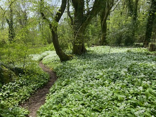
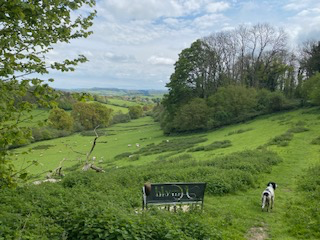
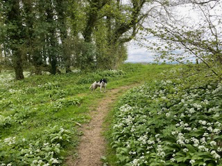
Head directly across the field in a southwest direction, and enter some words, which in the spring has wonderful wild garlic. Signage in these woods is somewhat wanting and your author got lost trying to find the correct path (but not without collecting the wherewithal to make some excellent wild garlic pesto)! The answer, if not distracted by the wild garlic opportunities, is to follow a path to your right, heading due south. You will emerge into the open with a wonderful field in a valley stretching out below you with a metal bench (inscribed ‘Harold’) where I am sure he will not mind if you pause to take in the distant views.
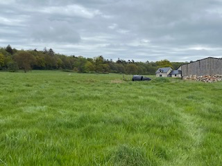
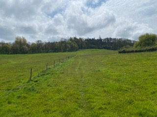
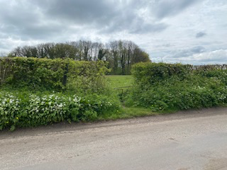
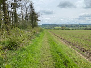
Here, there are various options to tempt you away from the correct path. However, keeping right and leaving the field below you on your left, go through a wooden gate and bear right so that you emerge out of the woods to leave them on your left. Follow the edge of the woods on your left in a south east direction until you come to a clear path across an arable field, heading towards New Barn, a house and outbuildings which you should pass on its left-hand side.
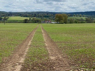
Follow the track which takes you to a road which you should cross continue heading south across a field before emerging onto the same road continuing south to cross a railway bridge. Here, if you are lucky with your timing, you may hear the happy sound of children in the playground of Wardour Catholic Primary School from across the shallow valley. Is there a more joyful sound?
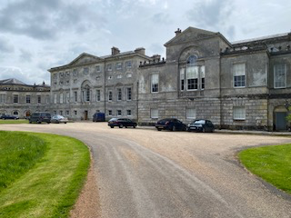
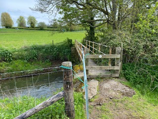
After crossing the railway bridge, look for an unmarked left turn into a field and head in a south-west direction where you will find a footbridge to get you across a small stream (the River Sem). You will emerge onto the road that connects Semley to Tisbury and you should turn left and look for a footpath on your right which runs alongside the school. Continue following this path and you will come out onto a road and the entrance gate to Wardour Castle.
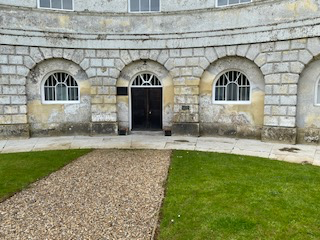
The entrance to Wardour Chapel itself is not immediately obvious and there are no signs. However, you will see that the chapel forms the right wing of the castle and a gravel path leads to an entrance between the castle and the chapel through an unprepossessing doorway that leaves one unprepared for the grandeur within.