Part 1: St Catherine’s Church, Sedgehill to St Mary’s Church, East Knoyle
Distance approx. 2.6 miles. Walking time approx. 1 hour.
This is part of a walk which connects all the churches in the Benefice of St Bartholomew and Wardour Chapel using public footpaths and avoiding roads so far as possible. The route, clockwise from Sedgehill, goes via East Knoyle, Wardour, Donhead St Andrew, Donhead St Mary, Charlton, Semley and back to Sedgehill.
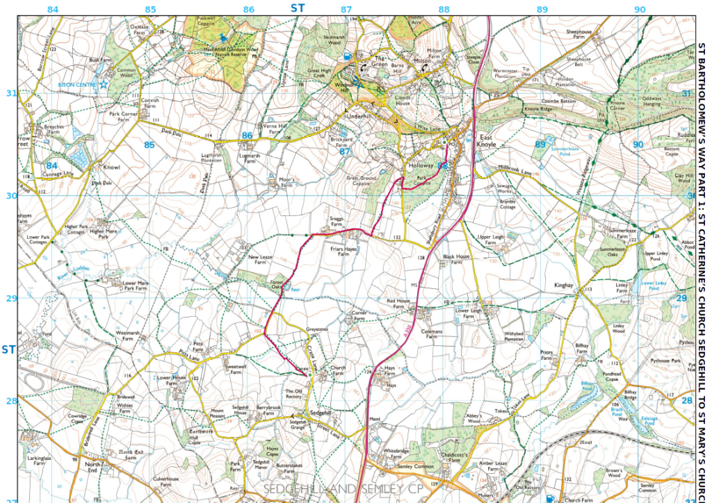
Maps – OS Explorer 118 1:25000 scale map (2.5 inches to 1 mile) and (for East Knoyle) OS Explorer 143 map. If you have an OS subscription and App the link to the map for this part of the walk is here.
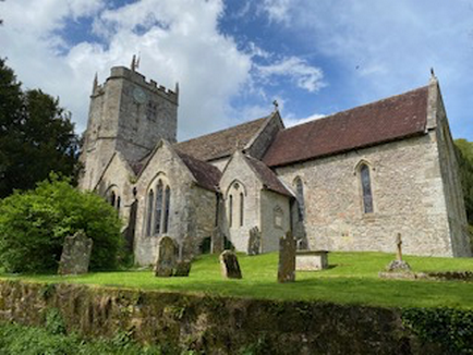
Start – St Catherine’s Church, Sedgehill, Shaftesbury SP79JN (OS Grid Ref: ST 86645 28238)
Finish – St Mary’s Church, Hindon Road, East Knoyle, Salisbury SP3 6AE (OS Grid Ref: ST 88019 30551)
Download – This section of the walk can be downloaded as a pdf file by clicking HERE.
Facilities – There are no facilities at Sedgehill but East Knoyle has a village shop. There is no regular or convenient public transport. Parking is available in the lane alongside the church in Sedgehill and at East Knoyle in Hindon Road or at the Village Hall next to the church.
Guidance – The best way to follow the route is by using the Ordnance Survey maps. These maps show the footpaths and it is recommended that you use them or, better still, with an Ordnance Survey subscription (which provides access to all OS maps online and access to an App on your smartphone) you can follow the link provided above.
The extract from the map is provided here online using an OS Media Licence with the restriction that it may not be printed or copied. You will need, therefore, to trace the route shown onto your own OS map.
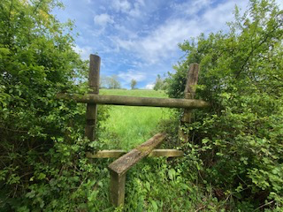
There are several stiles on this section which a dog will either have to jump or be lifted over.
Starting at the gate to the churchyard on the lane, take the bridleway which runs downhill along the side of the churchyard then go over the stile into the field below the church. Head across the fields in a north-west direction passing through some gates and two stiles before reaching another stile which takes you on to the lane known locally as the “Sedgehill loop.” (This, in itself, is a pleasant walk along a relatively quiet lane which circles village providing a 3 mile circuit. Those who have joined us on our annual Rogation Sunday walk will be familiar with it).
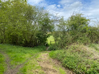
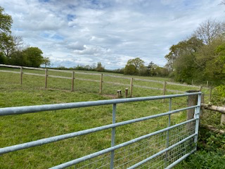
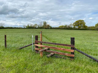
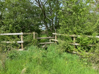
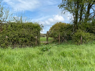
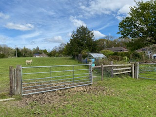
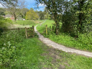
Turn right on the lane and, where the road takes a right-hand turn, follow the track going straight ahead. This will take you to a T-junction with a drive to the left leading to New Leaze Farm and a quiet lane on the right. Take this and pass through Snaggs Farm on your left and Friars Hayes Farm on your right. Shortly after you have left the last farm buildings on your right look out for a yellow footpath sign on your left. Take this and climb up an embankment which leads you to a stile. Then keep straight in a north-east direction across a field up the hill to reach another stile. Continue in the same NE direction crossing two fields with stiles until you reach a six-bar metal gate. Follow the line of the field at the back of some houses and join a road that leads to East Knoyle.
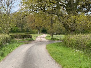

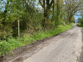
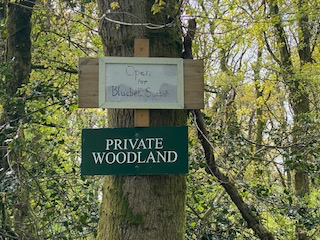
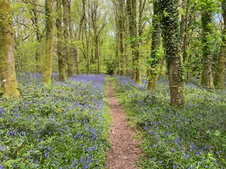
Here there are two alternative routes. There is a permissive path through Park Coppice, Private Woodland with a notice that states that it is only available during the bluebell season. The bluebells are wonderful and worth a visit. To get to this path turn right on the road and pass the houses that front the lane and shortly after a house on the right called The Pheasantry look for a track on the left. Follow this keeping straight until you reach the far side of the wood. Here, turning North, you will find a narrow metalled footpath which leads you to Hindon Road and St Mary’s Church above you.
The alternative route requires you to turn left on the road heading north until you come to a fork. Take the right-hand fork and continue past houses on both sides heading downhill, ignoring another left-hand fork to arrive at St Mary’s Church on your left.